Weather Forecast (Image: Patrika)
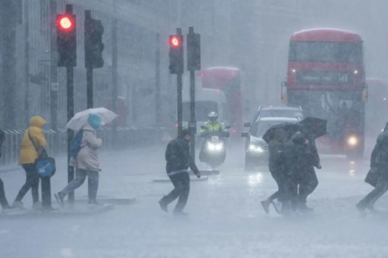
Weather Forecast: The weather is rapidly changing in the southern and central parts of the country. According to the latest forecast by the India Meteorological Department (IMD), heavy rainfall accompanied by thunderstorms is expected in several states over the next five days. Additionally, some states will experience the impact of severe cold waves. The IMD states that from November 15, 2025, onwards, this weather cycle will see increased stormy activities with heavy rainfall in South India, while in North and Central India, a drop in morning and night temperatures is likely to intensify the cold.
According to the latest forecast by the Meteorological Department, no significant change in weather is expected in Delhi-NCR over the next five days. There is a possibility of light fog or haze during the day, making the sunshine appear hazy, while night temperatures are expected to drop to around 12-14 degrees Celsius. The maximum temperature will hover around 24-25 degrees Celsius. Along with this, the air quality is likely to remain in the 'hazardous' category. Therefore, it is advised to wear a mask when going out and avoid staying outdoors for extended periods.
The Meteorological Department has issued a warning of heavy rainfall for Kerala, Mahe, Tamil Nadu, Puducherry, and Karaikal regions for the next five days. Kerala's coastal and hilly areas are expected to receive heavy to very heavy rainfall. This has also raised concerns about landslides and an increase in river water levels. On the other hand, Tamil Nadu, Puducherry, and Karaikal will experience increased stormy activities along with lightning and thunder. Coastal districts like Chennai, Nagapattinam, Ramanathapuram, and Thoothukudi may witness more incidents of strong winds and bright lightning.
In the Gulf of Mannar, the nearby Comorin region, and the coastal maritime areas of South and North Tamil Nadu, wind speeds will range from 35 to 45 kilometers per hour over the next few days, which may increase to 55 km per hour on several occasions. This is expected to lead to an increase in wave height and instability in maritime conditions due to strong winds at sea. The Meteorological Department has advised fishermen not to venture into the deep sea, while the coastal population has been asked to remain vigilant.
The impact of the changing weather is now clearly visible in North and Central India. According to the Meteorological Department, cold wave conditions will persist in many parts of Chhattisgarh, East Rajasthan, Jharkhand, Madhya Pradesh, and Uttar Pradesh over the next five days. A drop of 2-4 degrees in temperature is possible due to reduced humidity and the activation of northerly winds. In the northern districts of Madhya Pradesh, namely Gwalior, Chambal, Bhopal, and Sagar divisions, minimum temperatures may be recorded below normal. Along with this, a layer of light fog and mist will increase in the Purvanchal and Terai regions of Uttar Pradesh.
The day temperatures in Jharkhand and its surrounding areas will start to gradually fall. Night temperatures are showing signs of dropping below normal. Light chill will increase in the mornings and evenings in Hazaribagh, Giridih, Bokaro, and Dhanbad, and the weather is expected to remain dry. Meteorologists say that due to the low-pressure area forming in the Bay of Bengal and moisture from the Arabian Sea, rain activities will remain intense in South India, while in North India, clear skies after the Western Disturbance and the activation of northerly winds will increase the cold.
Big News
View AllNew Delhi
Delhi
Trending